Albuquerque sits at 1,619 m above sea level, with the Rio Grande Rift running directly beneath the metro area. That tectonic setting creates layered alluvial fans, old river terraces, and variable groundwater depths that shift with the acequia irrigation system. A slope stability analysis here needs to account for unsaturated silt behavior and perched water, not just dry friction angles. We run Spencer and Morgenstern-Price methods on all sections because the local geology produces non-circular failure surfaces in cemented sands. Before mobilizing equipment, we cross-check with drainage geotechnics to confirm that subsurface flow won't erode the toe. This is not a textbook slope — the rift imposes stress anisotropy that standard limit-equilibrium alone may miss.
Albuquerque slopes fail along caliche-cemented planes, not through homogeneous soil — standard Bishop analysis underestimates the real risk here.
Methodology and scope
Local considerations
The Albuquerque area is classified as seismic design category D per ASCE 7-16, with peak ground acceleration up to 0.34g. That alone raises the stakes for any cut or fill. But the bigger risk here is rapid drawdown in the irrigation canals and arroyo channels. When the acequias dry up in late autumn, the confining pressure vanishes and the slope unloads. We see cracking along the North Diversion Channel every year. A proper slope stability analysis must simulate that transient seepage condition using SEEP/W coupled with limit-equilibrium. Ignoring the seasonal water table rise of up to 6 m has caused multiple retaining wall failures along I-40.
Applicable standards
ASCE 7-16 (Seismic Design Category D, PGA 0.34g), FHWA-NHI-05-089 (Geotechnical Circular No. 7), ASTM D1586-18 (Standard Penetration Test)
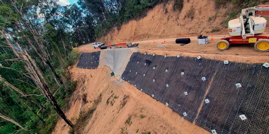
Associated technical services
Limit-equilibrium and numerical modeling
We use Slide and SLOPE/W for 2D sections, plus FLAC 2D for complex stratigraphy. Every model includes unsaturated shear strength parameters from triaxial tests on caliche and alluvial silts. Deliverables include safety factor contours, failure surface plots, and reinforcement recommendations.
Instrumentation and monitoring support
We install inclinometers, piezometers, and surface crack monitors before and during construction. Data is collected weekly and plotted against predicted deformation. If the slope moves beyond the alert threshold, we issue a stop-work notice and revise the analysis with actual field data.
Typical parameters
Frequently asked questions
What is the typical cost range for a slope stability analysis in Albuquerque?
A standard analysis for a single section with lab testing and modeling runs between US$1.440 and US$4.140. The final price depends on the number of sections, groundwater complexity, and whether instrumentation is required. We provide a fixed quote after reviewing the site geometry.
How does the Rio Grande Rift affect slope stability in Albuquerque?
The rift creates a graben structure with tilted fault blocks and variable alluvial thickness. That means the failure surface often follows pre-existing fractures in the caliche, not a simple circular arc. Our models include discrete joint sets and anisotropic strength parameters to capture that behavior.
What is the minimum factor of safety required by local building codes?
The City of Albuquerque enforces IBC 2018, which mandates a static factor of safety of 1.5 and a seismic factor of safety of 1.1. For critical slopes near structures or infrastructure, we recommend 1.3 for seismic conditions and 1.5 for static with a 50-year return period rainfall.
Do you include unsaturated soil testing in the slope stability analysis?
The reference range for this service in Albuquerque is US$1.440 - US$4.140. The final price depends on the project scope and volume.