Many construction teams in the Rio Grande Rift assume uniform seismic hazard across Albuquerque. The 2018 USGS hazard model shows peak ground acceleration varies from 0.24g near the Sandia fault to 0.18g in the South Valley. Ignoring local soil amplification from the 10,000-foot-thick Santa Fe Group deposits leads to underpredicting spectral accelerations at periods above 0.3 seconds. We combine multi-channel analysis of surface waves (MASW) with MASW-Vs30 profiling to define the correct site class per ASCE 7-22 Table 20.3-1 before any foundation model is run. Shallow shear-wave velocity profiles from the West Mesa often show Vs30 below 360 m/s, placing projects in Site Class D without the deep soil correction required by the code.
Site-specific seismic foundation design in Albuquerque must address the impedance contrast between soft alluvium and the underlying basalt flows near the eastern edge of the city.
Methodology and scope
Local considerations
The Rio Grande Rift creates a deep sedimentary basin that amplifies long-period motions. Albuquerque sits within 15 km of the active Sandia fault, capable of M6.8 earthquakes. High groundwater tables near the river valley increase liquefaction susceptibility in loose silty sands. A common mistake is using generic NEHRP site class without site-specific Vs profiling. We have seen design spectra that underestimate spectral accelerations at T>0.5s by up to 30% in the North Valley. Proper seismic foundation design in Albuquerque requires dynamic soil properties, not just SPT blow counts.
Applicable standards
ASCE 7-22 Chapter 20 (Site Classification and Ground Motion), IBC 2024 Section 1803 (Geotechnical Investigation), ASTM D4428/D4428M (Crosshole Seismic Testing), NEHRP Recommended Seismic Provisions (FEMA P-1050), Youd et al. 2001 – NCEER liquefaction evaluation
Associated technical services
Site-Specific Response Analysis
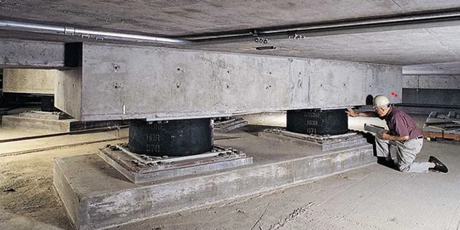
1-D equivalent-linear and nonlinear site response using SHAKE2000 and DEEPSOIL. We use downhole or MASW-derived Vs profiles to compute acceleration time histories at foundation level per ASCE 7-22 Section 21.2.
Liquefaction Hazard Assessment
SPT-based evaluation per Youd-Idriss (2001) with fines correction for silty sands. We calculate LPI and LSN to quantify lateral spread and bearing failure potential in the South Valley and near the Rio Grande.
Dynamic Foundation Design Parameters
Strain-compatible shear modulus (G) and damping ratio curves for each soil layer. We provide site-specific design spectra for both MCEr and DBE levels, including vertical ground motion coefficients per ASCE 7-22 Section 12.4.4.
Typical parameters
Frequently asked questions
How does Albuquerque's deep alluvial basin affect seismic foundation design?
The Santa Fe Group alluvium exceeds 3,000 m in thickness beneath much of Albuquerque. This basin traps and amplifies seismic waves at periods between 0.5 and 2.0 seconds, which directly affects mid-rise structures. Site-specific 1-D analysis is required to capture the basin-edge focusing effect near the Sandia fault escarpment.
What is the difference between NEHRP site class and site-specific response?
NEHRP site class (ASCE 7 Table 20.3-1) uses average Vs30 to assign a generic amplification factor. Site-specific response analysis uses the full Vs profile and strain-compatible soil properties to compute the actual transfer function. In Albuquerque, the generic approach can underpredict spectral accelerations by 30% when deep soft layers exist below 30 m.
How much does a seismic foundation design study cost in Albuquerque?
The cost ranges between US$1,310 and US$4,170 depending on the number of borings, depth of Vs profiling, and complexity of the nonlinear analysis. A typical mid-rise project with two 30 m downhole tests and 1-D response analysis falls in the middle of this range.
Which soil types in Albuquerque pose the highest liquefaction risk?
Loose silty sands (SM) with fines content below 20% and SPT (N1)60 values under 12 blows/ft present the greatest risk. These soils are common in the Rio Grande floodplain between I-25 and the river. The 2018 USGS hazard model indicates cyclic stress ratios above 0.25 for M7.0 events in this zone.